Backpacking the Grand Canyon: Hermit Trail + Tonto Shelf Loop
3-Day Adventure from the South Rim to the Colorado River and Back
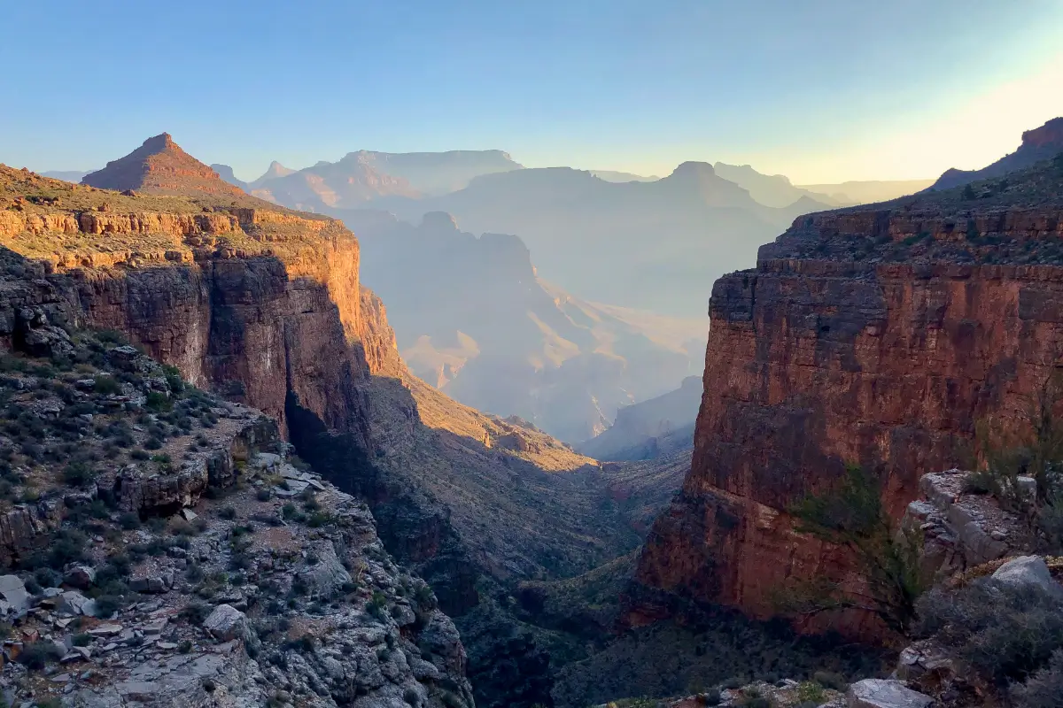
This was a 3-day backpacking trip in the Grand Canyon in October. I departed from the Hermit Trailhead on the South Rim and hiked to the Colorado River at the base of the canyon. I returned to the top via the Tonto Shelf, along the Tonto Trail & Boucher Trail.
Trip Details:
- Trip Duration: 3 Days, 2 Nights
- Total Distance: 23 Miles
- Elevation Gain: 4,600 Feet
- Trail Type: Loop
- Trailhead: Hermit Trailhead
- Permit Required: Yes for overnight backpacking. Highly competitive. Apply at earliest possible date (4-5 months prior to trip).
- Best Time to Visit: Spring (March to May) and Fall (September to November)
- Additional Info: There are no reliable water sources on the climb back up the South Rim after departing from Boucher Creek. Plan to carry all your water for the entire ascent. I highly recommend carrying more water than you think you’ll need.
Day 1
Route: Hermit Trailhead to Hermit Rapids at the base of the Canyon
Mileage: 8.5 miles | Highlights: Epic views of the Canyon + beachside camping along the Colorado River
Starting the Journey: Hermit Trailhead Logistics
My trip began on the South Rim at the Hermit Trailhead.
In order to reach the trailhead, I needed a gate code to grant access to Hermit Road, which is not accessible to private vehicles from March to November. However, upon arriving at 7:30am, I found that the gate code issued with my backcountry permit did not work! I tried the code at least 5 (possibly 17) times, but no dice 🙁
Luckily, I was a 5-minute drive from the Backcountry Information Center, which opened at 8am. I stopped in and grabbed the correct gate code from a Ranger, who confirmed the code I had been given was indeed incorrect. I’m glad I didn’t arrive super early (like 5am) otherwise I would’ve had to wait several hours. Although, in a pinch I could have taken the Hermit Road Shuttle Bus.
A Steep and Rugged Descent: Hermit Trail Conditions
After getting through the gate and driving along the scenic Hermit Road, I arrived at the Hermit Trailhead and was on my way. My goal was to descend to the base of the canyon the first day, and then take the next 2 days to make the return trip back to the top. The temperatures at the base of the canyon were forecast to be in the mid-90s (°F), even though it was October. Temperatures at the base of the Grand Canyon are typically 20 °F warmer than on the rim.
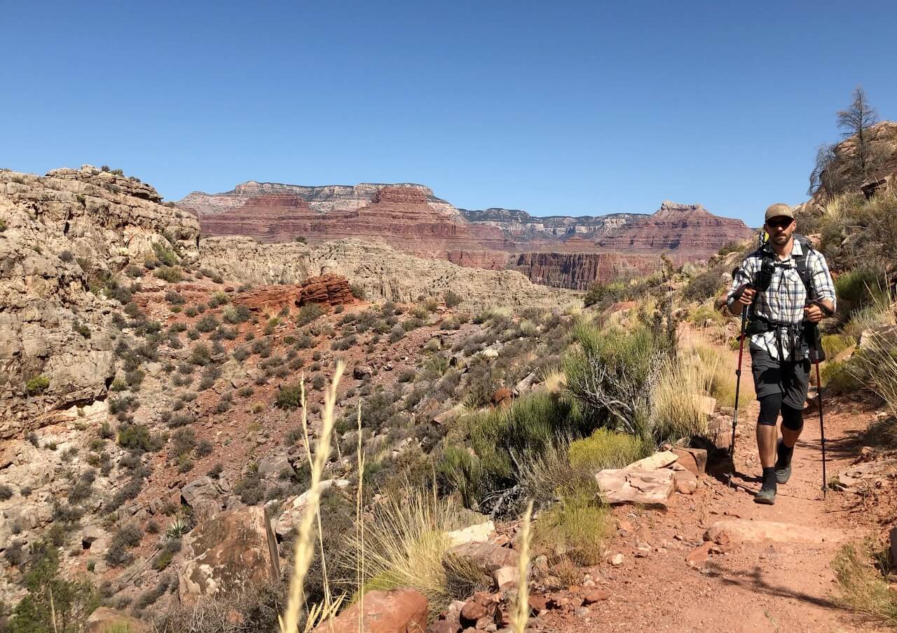
I chose the Hermit Trail since it’s a bit more remote than the other popular South Rim trails (the Bright Angel and South Kaibab trails). Sure enough after the first mile, I saw very few day hikers from that point. Descending the Hermit trail was a bit difficult, as the trail is steep and very rocky. I constantly had to watch where I was placing my feet and it seemed that every time I looked up to take in the views of the Canyon while walking, I would almost immediately step awkwardly on a rock and roll my ankle.
The trail was shady and cool for the first couple hours, before the sun crested the rim at around 10am. The rest of the hike was completely exposed in direct sunlight. At Mile 2, I passed the Santa Maria Spring which had running water, a horse trough, and a stone shelter for shade. The shelter was occupied by a group of backpackers, so I passed on. This would be the last water source until the Colorado River.
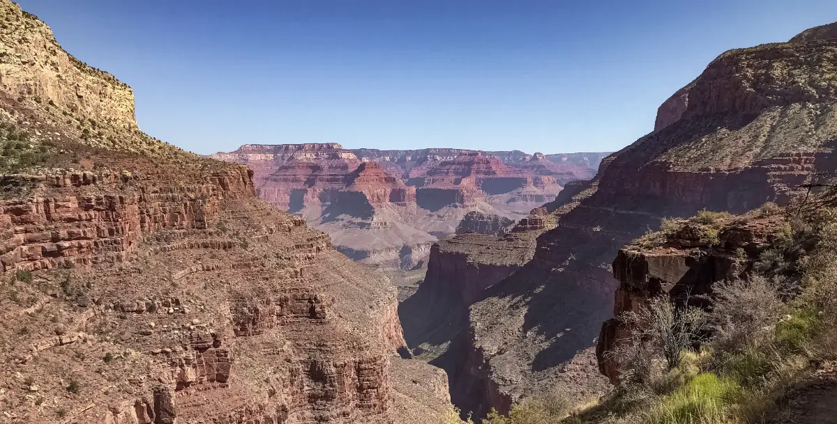
The view along the Hermit Trail near Santa Maria Spring
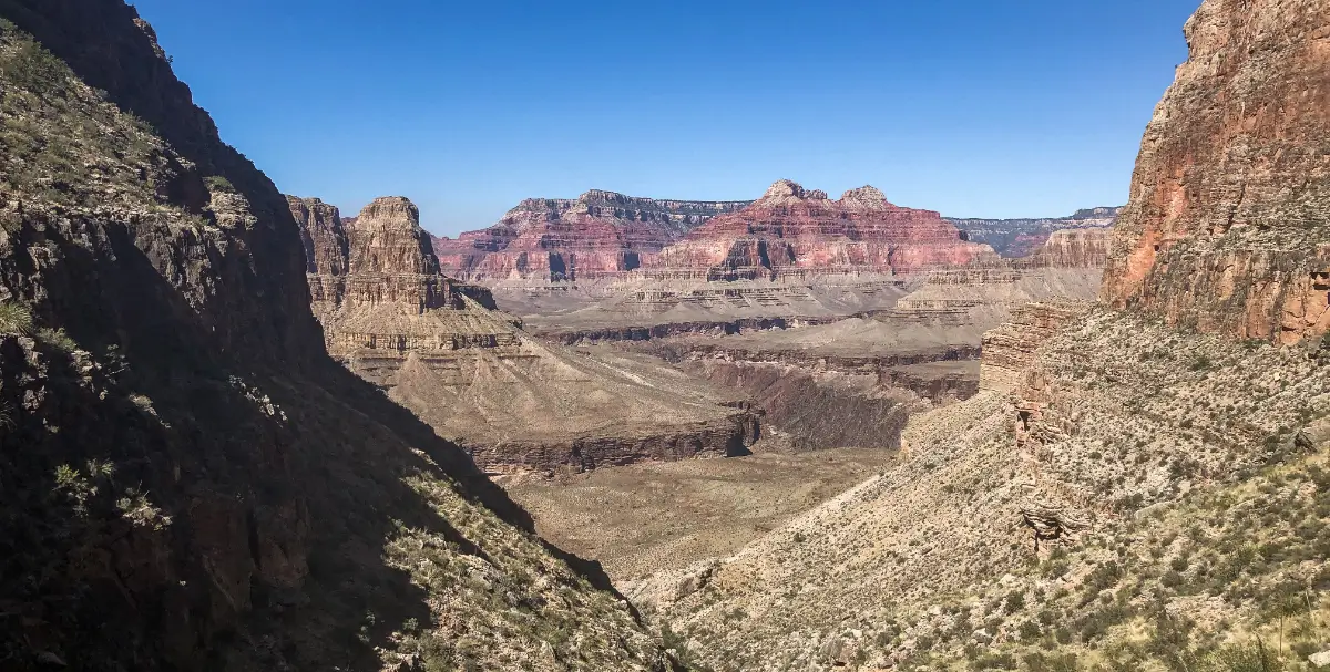
The distance from the Hermit Trailhead to the Colorado River is 8.3 miles with a total of 4,400 feet of elevation loss. As I approached the base of the canyon, the sheer canyon walls gave way to more gradual slopes, with a light green appearance due to more even vegetation growth. The sun was really starting to beat down and I was beginning to feel the 20° temperature difference, so I was looking forward to arrive at the river and make camp.
The last mile to the Colorado River follows the Hermit Creek along the base of the canyon, and is entirely flat. This was probably my favorite part of the entire trip, as the environment & landscape completely changed from the rocky, barren cliffsides to an otherworldly “oasis” passing through a narrow slot in the canyon.
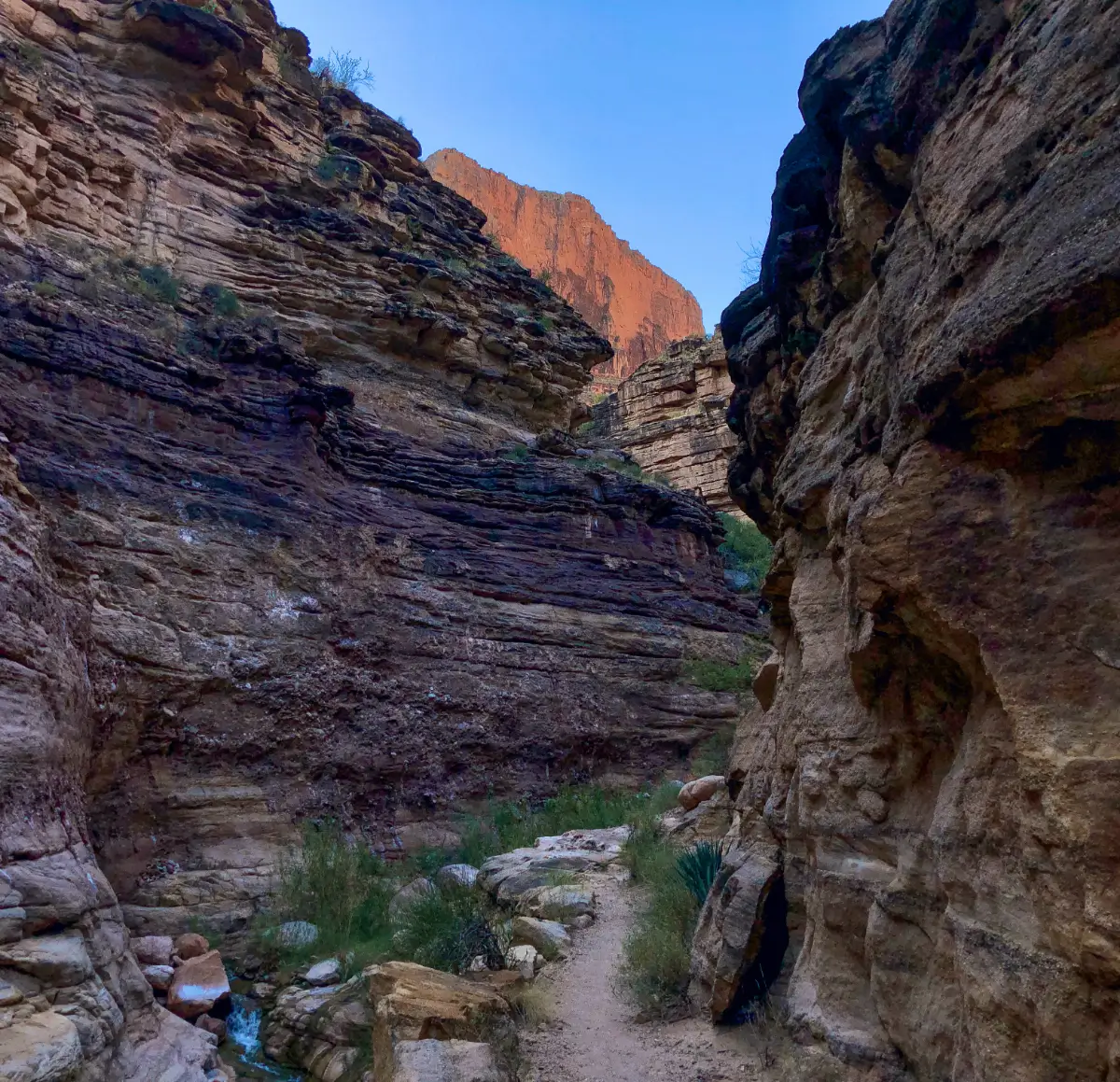
A nice change of pace after the continuous downhill sections
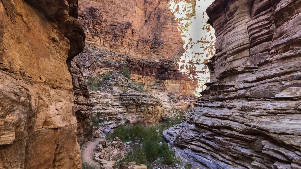
Hermit Trail alongside the Hermit Creek
The one-mile section of trail along the Hermit Creek was actually more challenging than I expected, as it is not well-maintained and I was often scrambling down the creek, hopping from one side to the other.
I finally broke through a bit of thick vegetation at the end of the creek, and made it to my destination for Night One: The Colorado River.
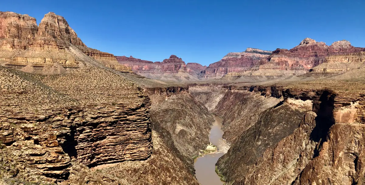
The Colorado River, as seen above from the Tonto Shelf
Camping by the River: Hermit Rapids Campsite
By the time I reached the river, I was pretty exhausted and I didn’t really have energy to take pictures of the actual river itself. I had also just returned from five straight backpacking trips in Yosemite this summer, so my perception of what qualified as a “scenic” river at the time was a bit skewed 😅
I camped at the “Hermit Rapids” campsite (site BM8). The ground was sandy and it took me a while to find a space large enough to pitch my tent. Since I was expecting to carry more water than normal on this trip, I opted to bring my ultralight, non-freestanding tent, the Tarptent ConTrail. This tent is the predecessor to Tarptent’s current model, the ProTrail.
You can check out a review of my tent from my all-time favorite backpacking vlogger “Shug” Emery on his YouTube channel.
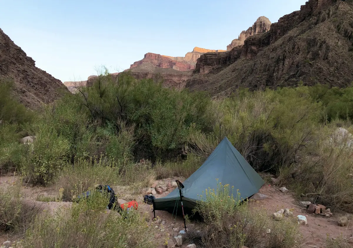
My campsite at the base of the Grand Canyon
Day 2
Route: Hermit Rapids to campsite half-way up the South Rim
Mileage: 7.8 miles | Highlights: Hiking the Tonto Shelf above the Colorado River
Stocking Up at Boucher Creek: Water Prep for the Ascent
I woke up feeling energized and refreshed, and I made my way back up the Hermit Creek to begin my ascent up the South Rim. I planned to go about half way up the rim (2,200 feet) and then camp for the night, before climbing the second half on Day 3.
Once I left the base of the canyon, there are no other water sources along my route at this time of year. So before beginning the climb, I made a detour over to the Boucher Creek to “camel up”. I left Boucher Creek with a hefty 2.5 gallons of water, enough to last me the final 2 days.
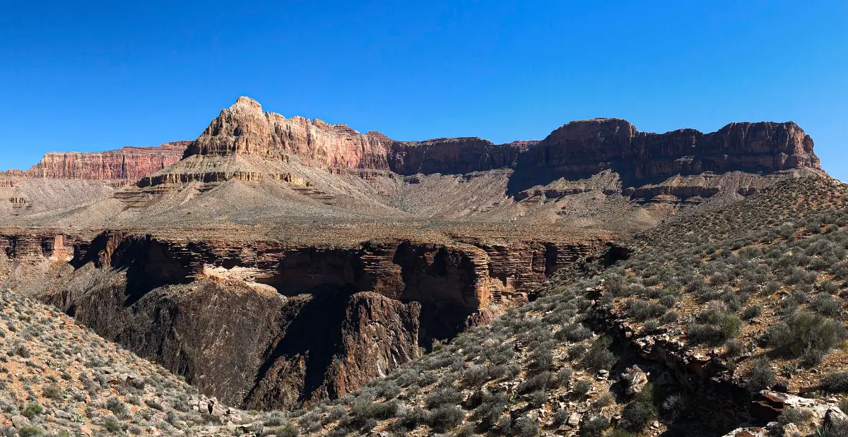
Hiking along the Tonto Shelf
Traversing the Tonto Shelf: Epic Views Above the Colorado River
I climbed the Tonto Trail going West, high up above the Colorado River. From here, I followed the Tonto Shelf until it intersected with the Boucher Trail for the return trip up the South Rim. This was another really memorable section, with tons of amazing views and the sight of the Colorado River snaking 700-feet below.
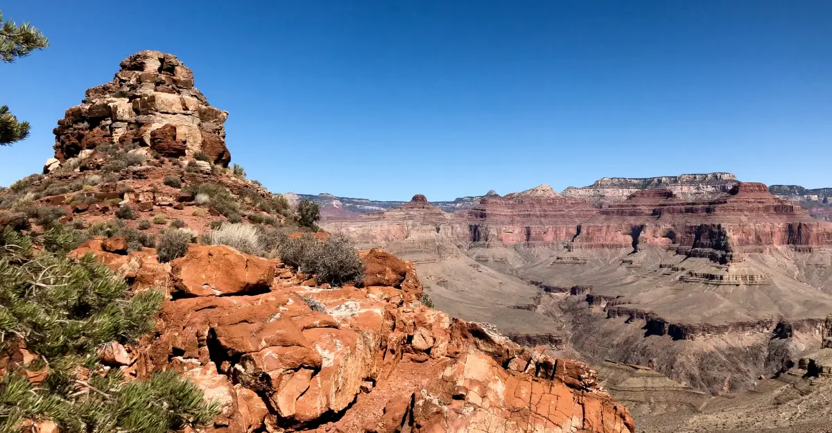
Unexpected Wildlife: A Grasshopper Encounter to Remember
At this rock formation, I stopped to photograph a huge, green grasshopper that was around 3 inches in length. After I took his picture, the grasshopper promptly jumped 6-feet right up into my face…buzzing & flapping his wings all in my eyes, before grabbing onto the bill of my hat and hanging there for a few seconds. I almost had a heart attack, and just about jumped right off the canyon ledge in fright!
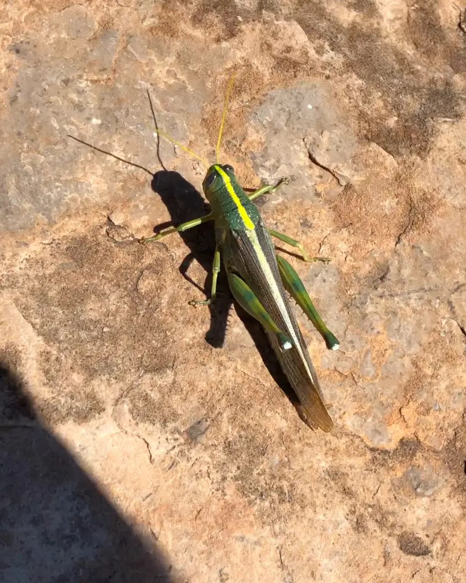
A 3-inch grasshopper – just seconds before he jumped straight into my face 🤣
Camp with a View: Night 2
The trail from the Colorado River to my Night Two campsite near Yuma Point, directly South-West of Whites Butte involved a few sections of very steep trail, at some points requiring moderate bouldering/scrambling. Just as the glaring sun and elevation gain was starting to get to me, I arrived at my destination.
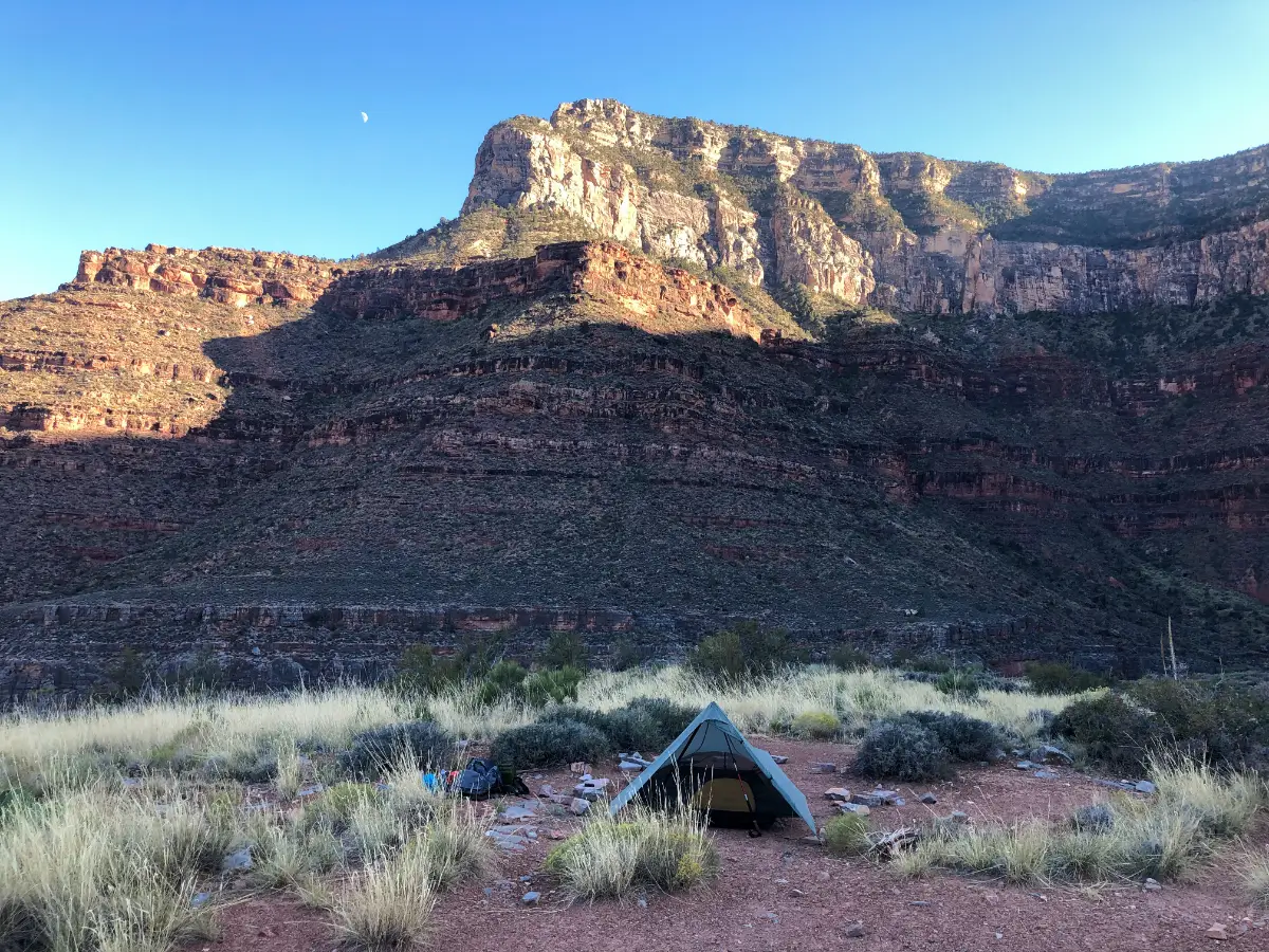
My campsite near Yuma Point on the South Rim. Every direction I turned, there were incredible views!
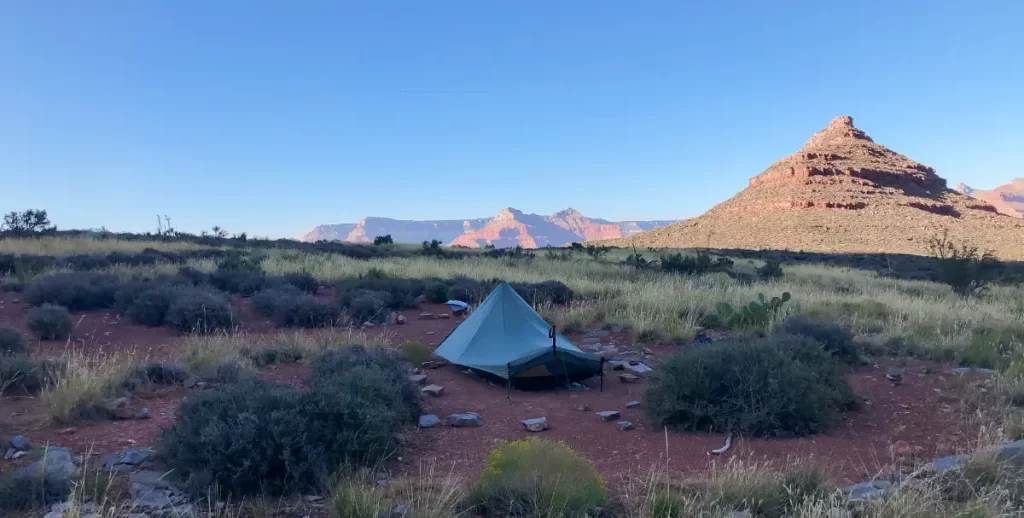
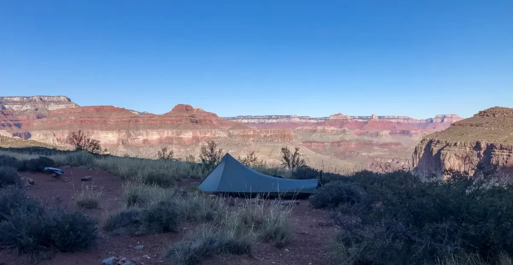
I enjoyed a relaxing evening at camp, taking in the views and listening to music on my iPhone before cooking up a delicious pot of ramen with freeze-dried vegetables.
Day 3
Route: Campsite near Yuma Point to Hermit Trailhead
Mileage: 7.4 miles | Highlights: Sunrise Climb, Boucher Trail Challenges
The Final Push: A Steep Ascent on the Boucher Trail
I departed camp at sunrise and made my final ascent back to the top of the Canyon. It was another hot day in the 90’s (°F), but the higher I climbed, the cooler it got.
There were a few sections of the Boucher Trail where I definitely had to be careful about where I stepped. At times, I was right on the edge of the canyon wall and there was little room for error…
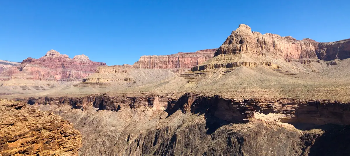
As I continued my journey back up the South Rim, I was continuously amazed by the constant scenes of beauty all around me. It seemed that around every corner was an entirely new vista, rock formation, or spectacular canyon view. The Canyon was often eerily silent, yet vibrant with energy.
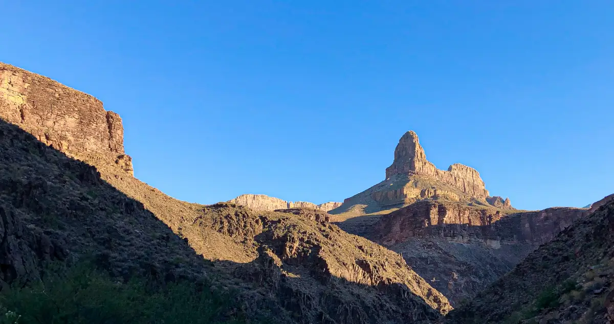
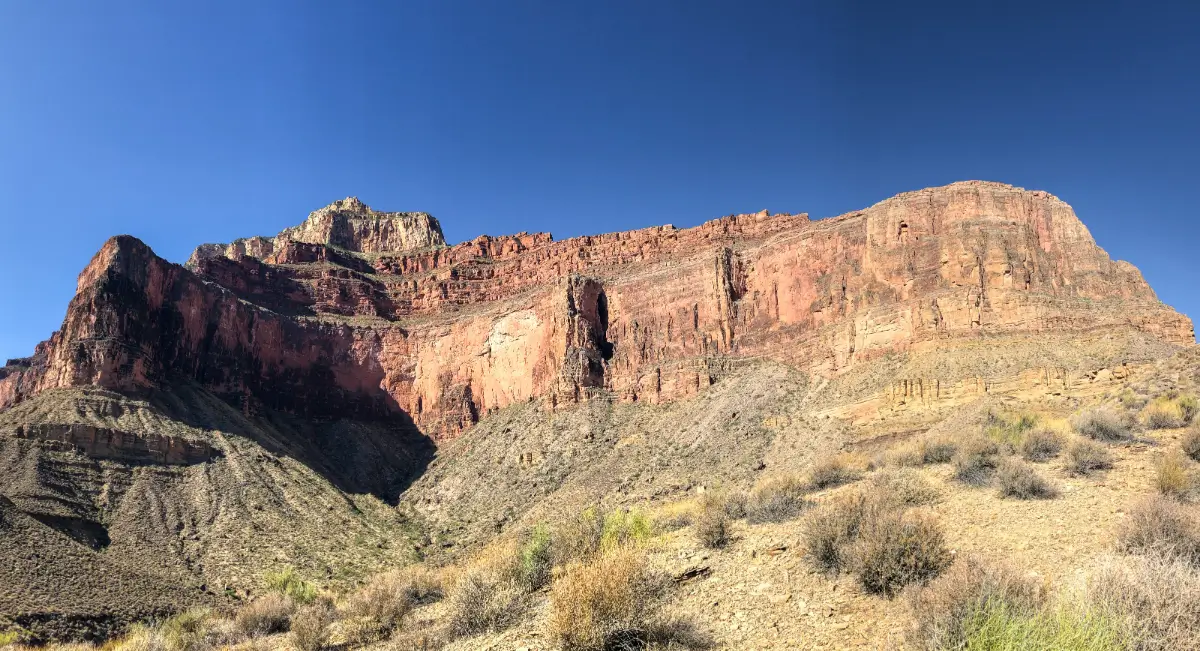
Canyon Silence and Beauty: Memorable Views Along the Way
During the final few miles before reaching the trailhead, my water reserves were starting to run low. The final two miles are a pretty steep climb so I took a rest in the shade, made an extra strong cup of coffee, and put the camera away before muscling up the final 1,500 feet. I finally reached the parking lot, triumphantly completing a successful trip from the South Rim to the base of the canyon & back!
Final Reflections
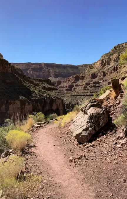
This 23-mile loop through the Grand Canyon offered stunning views, rugged trails, and enough challenge to make it feel like a true adventure. Over three days, I tackled over 9,000 feet of elevation gain and loss, traversing some of the most remote and dramatic terrain the South Rim has to offer.
The route showcased the canyon’s diversity, from the steep descent of the Hermit Trail to the sweeping vistas along the Tonto Shelf and the grueling ascent up the Boucher Trail. Camping by the Colorado River at Hermit Rapids was unforgettable, and the views from Yuma Point made the second night truly special.
This loop demands preparation—relentless sun, long water carries, and steep trails—but the rewards are immense. For those ready to take on the challenge, this route provides an incredible way to experience the Grand Canyon’s rugged beauty.
Continue Exploring:
- Check out my recommended gear list for a backpacking trip like this.
- Interested in more adventure? Read about my trip to The Superstition Wilderness.
- New to backpacking? Start with my free Ultimate Beginner’s Backpacking Checklist.
- Ready to plan your first trip? Read my step-by-step guide to planning your first backpacking trip.
- Want to see more tips and trip reports in action? Follow my YouTube channel for regular updates.
Affiliate Disclaimer:
This page contains affiliate links, which means I may earn a small commission at no additional cost to you if you make a purchase through these links. Your support helps me create more helpful content for backpackers. Thank you!
Join Our Community of Adventure Seekers!
Get the latest backpacking tips, gear guides, and trail inspiration sent directly to your inbox.
Sign up to start exploring!
Welcome to the Step Massive Community!
Thanks for signing up! You’re now part of a community of backpacking enthusiasts who share your passion for the trail.
Keep an eye on your inbox for tips, gear guides, and inspiration for your next adventure.
Explore Our Resources